Fort Pierre National Grassland
Fort Pierre(Central)
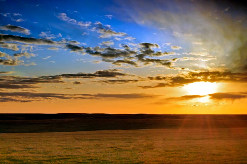
The Fort Pierre National Grassland (FPNG) includes approximately 116,000 acres of federal land located south of Fort Pierre, north of Interstate 90, and west of the Lower Brule Indian Reservation. The topography ranges from flat to gently rolling hills with large drainages on the north and west boundaries containing relatively steep slopes and creeks that flow toward the Bad River and the Missouri River. The Ranger District office, located in Fort Pierre, is open 8 a.m.-5 p.m., Monday-Friday.
Located in:
Central region - Fort Pierre